Spring corn skiing on the Pacific Northwest's volcanoes
SkiCorn estimates overnight refreeze, daytime softening, and freeze/thaw streak quality for ski mountaineering on the major PNW volcanoes — refreshed every few hours from SNOTEL, NWS, and live webcam feeds. Pick a mountain to dive into the full forecast.
 WA · 14,411 ft
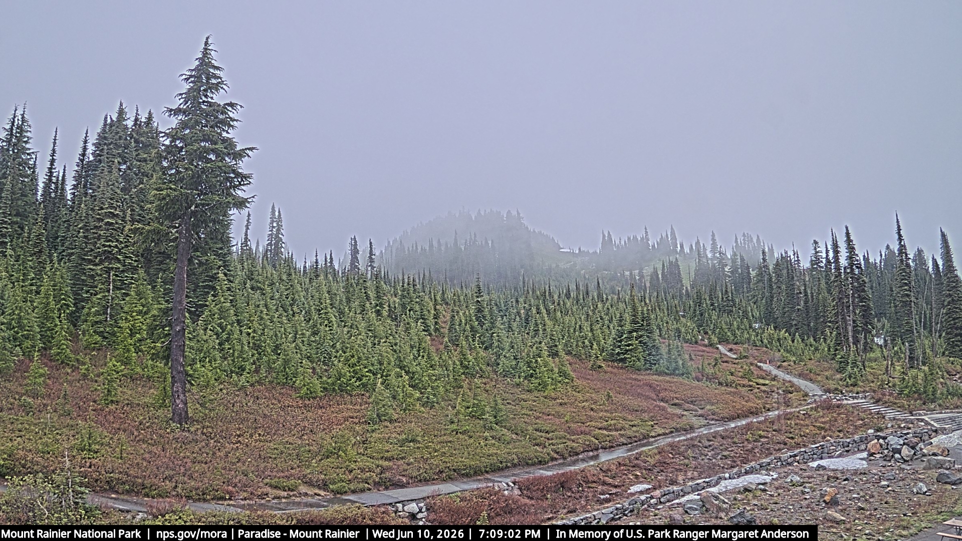
Mt. Rainier
Lo 43° · Hi 61° · 0-day streak
Paradise → Camp Muir
Paradise (5,400′) → Camp Muir (10,080′). The classic Pacific Northwest spring corn objective. Best windows are sunny periods Apr–Jun after a few freeze/thaw cycles. SNOTEL 679 at Paradise is our truth source for overnight lows.
View forecast →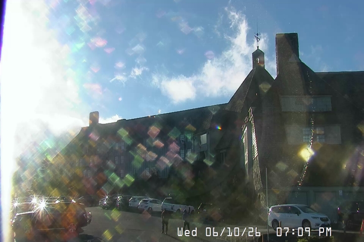 OR · 11,249 ft
Mt. Hood
Lo 49° · Hi 63° · 0-day streak
Timberline → Crater Rock
Timberline (~5,400′) → Crater Rock (~10,500′). Lift-served on the Palmer Snowfield well into July; serious alpine terrain above. SNOTEL Mt Hood Test Site sits next to Timberline Lodge — best lapse-rate parity with Rainier of the new mountains.
View forecast → 📷 not live · USGS (public domain)
WA · 10,781 ft
🏖️ melted out
📷 not live · USGS (public domain)
WA · 10,781 ft
🏖️ melted out
Mt. Baker
Lo 47° · Hi 55° · 0-day streak
Heliotrope Ridge → Coleman Saddle
NW Forest Pass required for the Heliotrope Ridge trailhead. Climbing register at the trailhead. North Cascades National Park boundary lies above.
Heliotrope Ridge (~3,700′) → Coleman Saddle (~9,000′) on the standard Coleman-Deming route. Maritime, snowiest snowpack on earth most winters. No high-elevation SNOTEL — freezing levels above ~5,000′ are extrapolated from Wells Creek (4,040′), so the lapse-rate confidence is medium; weight the high-elevation NWS forecast accordingly.
View forecast → WA · 8,366 ft
🏖️ melted out
WA · 8,366 ft
🏖️ melted out
Mt. St. Helens
Lo 50° · Hi 68° · 0-day streak
Climbers Bivouac → Monitor Ridge / Worm Flows
Climbing above 4,800′ requires a permit Apr 1–Oct 31 ($15, capped at 100/day). Reserve at purchasepass.com — they sell out for weekends weeks in advance.
Climbers Bivouac (3,765′) → crater rim (~8,300′) via the Worm Flows or Monitor Ridge climber routes. Lower elevation means corn season peaks Mar–early Jun, earlier than the high volcanoes. No glaciers, no objective hazards above the crater — friendliest big-volcano ski in the PNW.
View forecast →How it works
For each mountain we track the overnight refreeze (SNOTEL air temp, cloud cover, wind, and dewpoint at the trailhead — plus a radiative-cooling correction for clear nights), the daytime warming, the freeze/thaw streak, and any rain or new snow that would disrupt the corn cycle. Score 70+ = go; 50–70 = mixed; below 50 = wait for a better cycle.