Monday, Jul 27
❄️ Poor corn conditions on the model's read. Overnight: 43°F at Paradise (⚠️ didn't freeze). Camp Muir overnight low: forecast 40°F. Daytime high: 56°F at Paradise.
How this score was built ⓘ
- Refreeze (× 0.5) +0.0
- Warming (× 0.3) +22.1
- Streak bonus (capped at 20) +0
- Final score 22.1 / 100
Why this score?
- Refreeze 0/100 contributed +0 pts (50% weight). Snow surface ≈ air (43°F) — sky 35% cloud, wind ×0.66, humidity ×0.00: clouds, wind, or humid air suppressed radiative cooling.
- Warming 74/100 contributed +22 pts (30% weight).
- Freeze/thaw streak is 0 days — base score (refreeze + warming) caps at 80 until a streak builds.
Condition Components
🥶 Refreeze
Air low: 43°F → surface ~43°F, Cloud: 35%, Wind: 5 mph, Dew: 44°F
☀️ Warming
High: 56°F (mush risk)
🔄 Streak
Consecutive freeze/thaw days
💨 Wind
Max wind (mph) at Camp Muir
Sanity-check this
- 🤔 Daytime high (56°F) is on the warm edge of the corn window — south-facing aspects may go to mush before north-facing ones soften.
Elevation Forecast
7-Day Outlook
Jul 27
Jul 28
Jul 29
Jul 30
Jul 31
Aug 1
Aug 2
Freeze/Thaw History
Recent Snowfall
| Day | New Snow Paradise 5,400′ |
Est. Camp Muir ~10,080′ |
Source confidence |
SWE Δ in / 24h |
Precip in / 24h |
Depth | Low / High |
|---|---|---|---|---|---|---|---|
| Mon Jul 27 | 1.0" | ~1.5" | depth+precip medium | — | 0.2 | 1" | 43° / 56° |
| Sun Jul 26 | — | — | none high | — | — | 0" | 44° / 63° |
| Sat Jul 25 | — | — | none high | — | 0.3 | 0" | 45° / 59° |
| Fri Jul 24 | — | — | none high | — | — | 0" | 48° / 73° |
| Thu Jul 23 | — | — | none high | — | 0.4 | 0" | 53° / 60° |
| Wed Jul 22 | — | — | none high | — | 0.3 | 0" | 57° / 84° |
| Tue Jul 21 | — | — | none high | — | — | 0" | 61° / 79° |
| Mon Jul 20 | — | — | noise filtered high | — | — | 2" | 59° / 71° |
| Sun Jul 19 | — | — | none high | +0.00 | — | 0" | 44° / 65° |
| Sat Jul 18 | 2.0" | ~3.0" | depth+precip medium | +0.00 | 0.1 | 2" | 41° / 62° |
| Fri Jul 17 | — | — | none high | +0.00 | — | 0" | 41° / 61° |
| Thu Jul 16 | — | — | none high | — | 0.5 | 0" | 46° / 64° |
| Wed Jul 15 | — | — | noise filtered high | — | — | 2" | 54° / 75° |
| Tue Jul 14 | — | — | none high | — | — | 1" | 52° / 73° |
| Mon Jul 13 | — | — | — low | — | — | 1" | 54° / 69° |
Rainier Webcams view gallery →
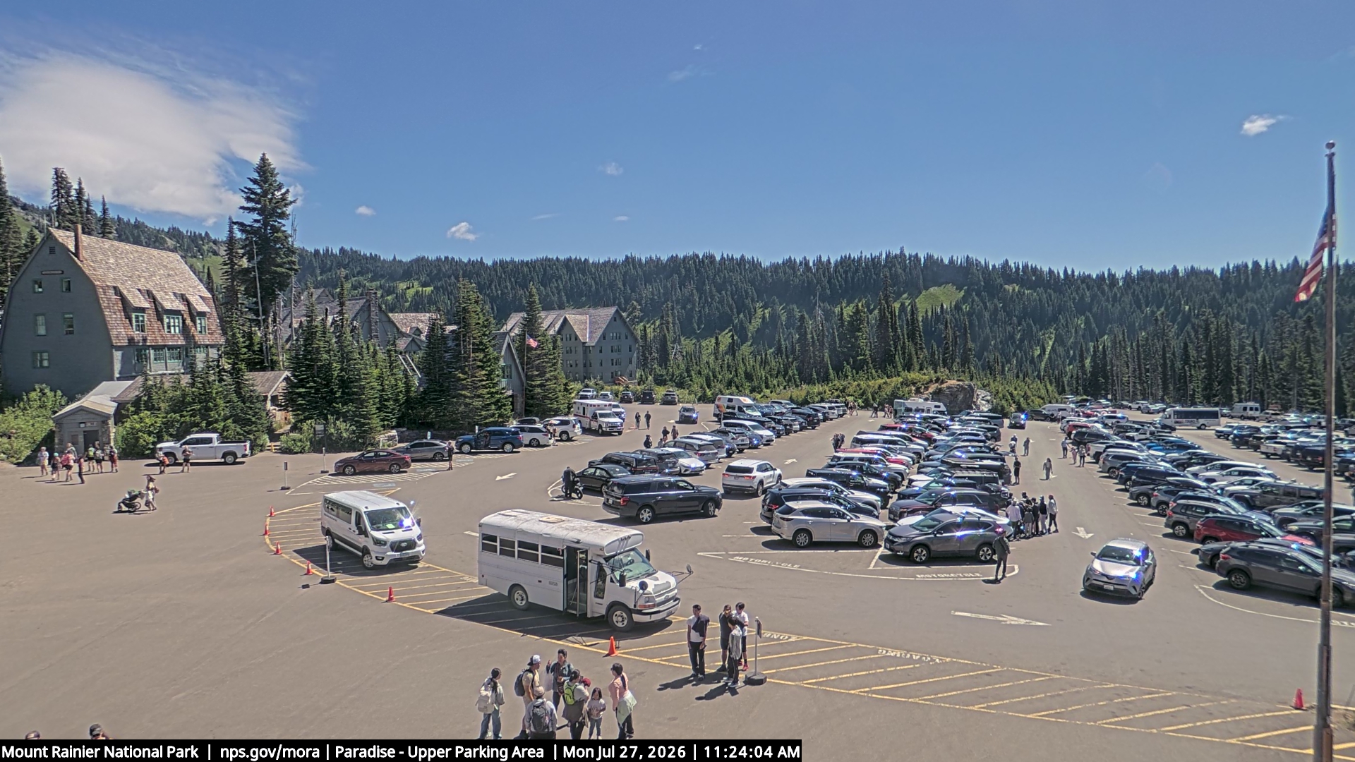
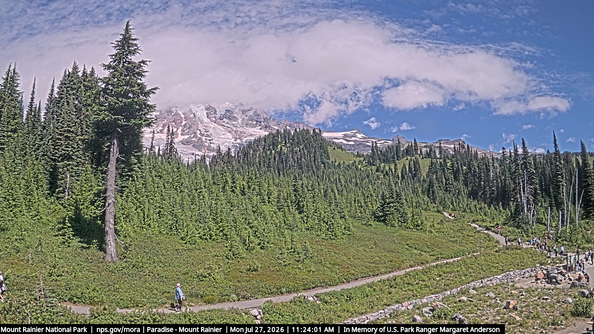
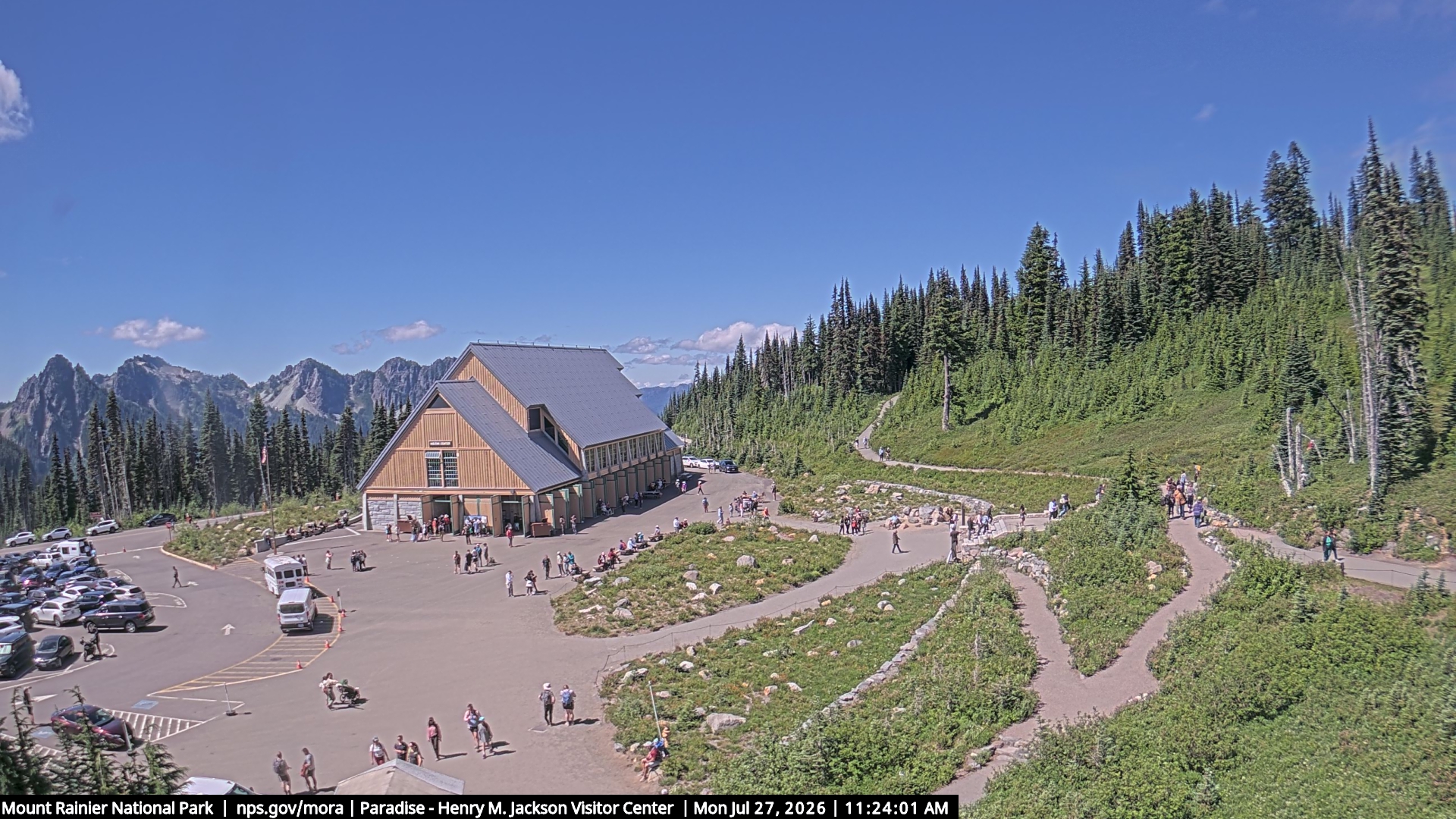
Latest Observation
Forecasts View archive →
Synopsis
Operations Update: This is the last Mountain Weather Forecast of the 2025-26 season. NWAC will continue to monitor snow and weather conditions. Large storms and/or widespread avalanche cycles may cause us to issue special avalanche bulletins, avalanche warnings, or other spring statements. Mountain Weather Forecasts typically begin in mid-November for the winter season. If you like sunshine and warm temperatures, you're in luck! We're wrapping up our weather forecasting season with a long stretch of warm and dry weather. A high pressure ridge has taken up residency over the Pacific Northwest and doesn't appear to be going away anytime soon. In general, each day should be fairly similar to the last, with only a few subtle changes. Mostly clear skies Sunday night should allow snow surfaces to freeze in open areas, even as temperatures stay well above freezing. On Monday, 5000 ft temperatures easily climb into the low to mid 60s. Passing bands of high thin clouds won't do much to provide relief from the strong May sun. While the chance of showers and thunderstorms is less on Monday, there's still a slight possibility for convective precipitation to develop mainly in the southern forecast zones and near Mt Hood. While most locations won't see precipitation, keep your eyes on the sky. If dark, ominous clouds start to form, a thunderstorm could be heading your way. Onshore flow Monday night may help draw slightly cooler air and a marine layer (clouds) into the lower elevations in the Olympics and west slopes of the Cascades. It's hard to say how far into the mountains any clouds will push. Higher in the terrain (5000 ft), diurnal temperature swings will once again allow nighttime lows to fall near 50 F. Temperatures quickly rebound on Tuesday, and any low clouds in the mountains retreat back to the coast. A passing disturbance to our east could spread a few more high and mid-level clouds over the area, primarily in the East North and East Central zones. But overall, it should be yet another warm, mostly sunny day in the mountains. Enjoy the spring and summer! Mountain Weather Forecasts typically begin in mid-November for the winter season. ~NWAC's Weather Forecasting Team
Extended Outlook
The high pressure ridge continues to control our weather through the remainder of the week. In general, each day will be very similar to the last. The biggest changes could be in the thickness and persistence of any overnight marine layer and ridgeline wind speeds. Overall expect mostly clear, mild nights followed by warm, sunny, dry days. The high pressure ridge flattens a bit on Wednesday, turning the upper air flow more westerly. This could be most noticeable with a change to more moderate ridgeline winds. However, our streak of dry, sunny weather doesn't seem to falter. When could we see a more substantial pattern shift? Good question. Most weather models don't hint at any meaningful change through at least next weekend.
Monday: Mostly sunny. Freezing level near 12500 feet.
Monday Night: Partly cloudy. Freezing level near 14000 feet.
Tuesday: Partly sunny. A slight chance of showers in the afternoon. No snow accumulation near Paradise. Snow level near 9500 feet.
Tuesday Night: Mostly cloudy. A slight chance of showers in the evening. Snow level near 8500 feet.
Wednesday: Sunny. Freezing level near 13500 feet.
Wednesday Night: Mostly clear. Freezing level near 14000 feet.
Thursday: Sunny. Freezing level near 14500 feet.
Thursday Night: Mostly clear. Freezing level near 15000 feet.
Friday: Sunny. Freezing level near 15500 feet.
Friday Night: Mostly clear. Freezing level near 15500 feet.
Saturday: Sunny. Freezing level near 14000 feet.
Saturday Night: Partly cloudy. Freezing level near 14000 feet.
Sunday: Mostly sunny. Freezing level near 13000 feet.
Synopsis
Weak warm front well to the northwest of the park Monday. Trailing weak cold front will move through Tuesday. Dry and warmer weather Thursday and Friday as an upper level ridge centered over the Southwest builds back towards the Pacific Northwest. Ridge weakens Friday night. Upper level trough moving into Western Washington over the weekend with cooler temperatures.
Extended Forecast
.WEDNESDAY NIGHT...Mostly clear. Freezing level near 14000 feet. .THURSDAY...Sunny. Freezing level near 14500 feet. .THURSDAY NIGHT...Mostly clear. Freezing level near 15000 feet. .FRIDAY...Sunny. Freezing level near 15500 feet. .FRIDAY NIGHT...Mostly clear. Freezing level near 15500 feet. .SATURDAY...Sunny. Freezing level near 14000 feet. .SATURDAY NIGHT...Partly cloudy. Freezing level near 14000 feet. .SUNDAY...Mostly sunny. Freezing level near 13000 feet.